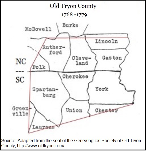
Prior to the Revolutionary War, the area that is now Cleveland County was a sparsely settled frontier. Because the current county boundaries were not established until 1841, it fell under the jurisdiction of larger colonial territories—most notably the short-lived Tryon County (1768–1779). The map below shows the old Tryon County boundaries overlaid on current county areas.
Because official census data was not collected in the Carolina backcountry prior to the war, exact population counts do not exist. However, based on colonial tax and militia records, historians estimate the population around 1779 to be 1226 men on the tax rolls for the entire Tryon County area.
According to Lee Weathers, author of the 1956 Living Past, the earliest families that settled in the area that would become Cleveland County were the Beam, Blanton, Bridges, Cabaniss, Falls, Green, Hamrick, Harrill, Hoyle, McSwain, and Spangler families. These were families that settled in the area prior to the Revolutionary War.
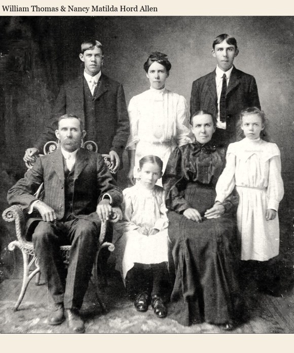
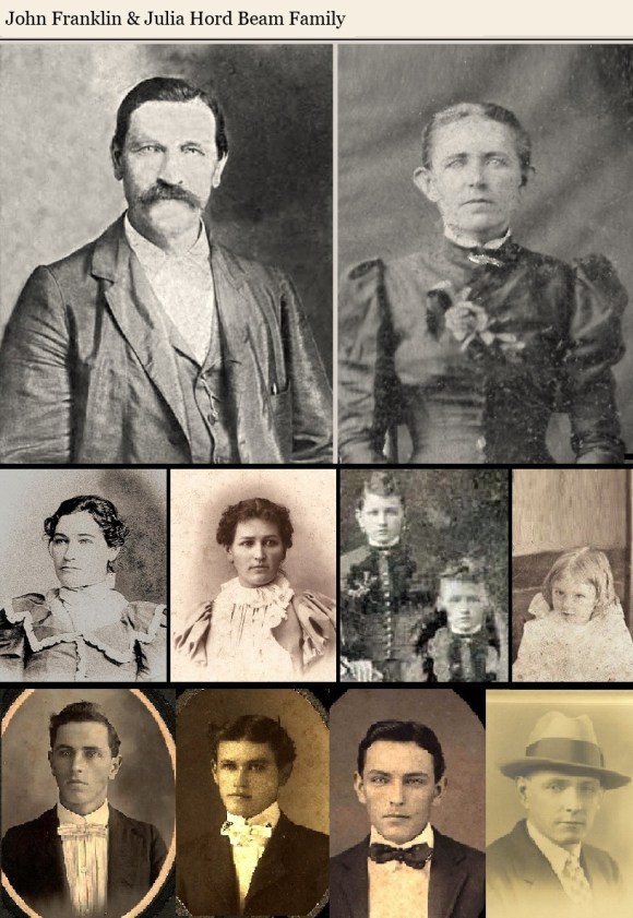
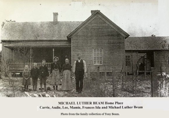
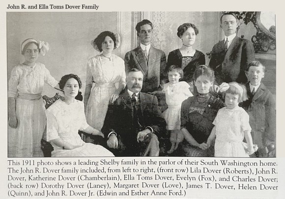
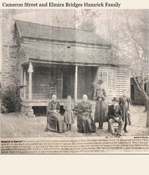
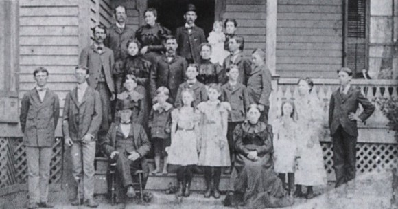
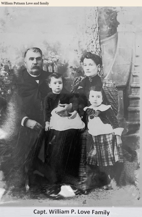
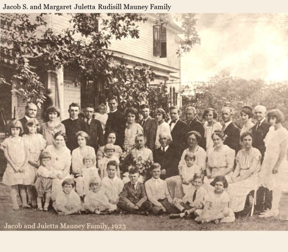
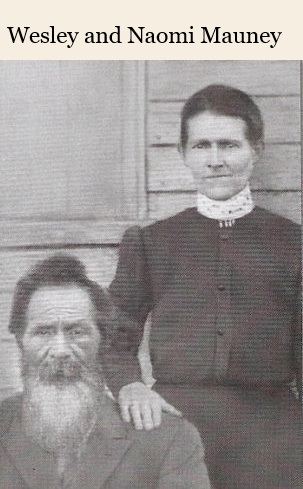
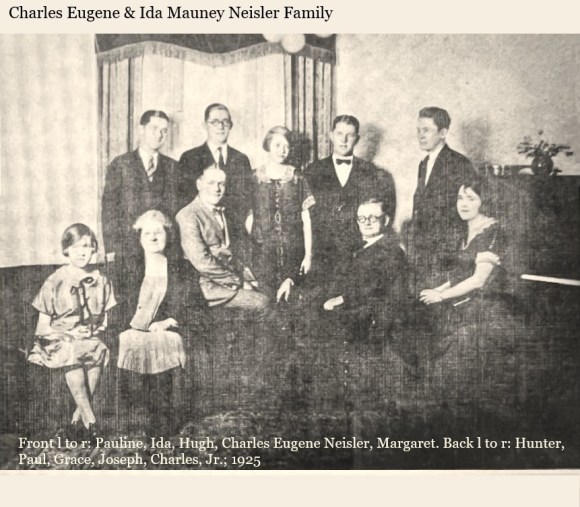
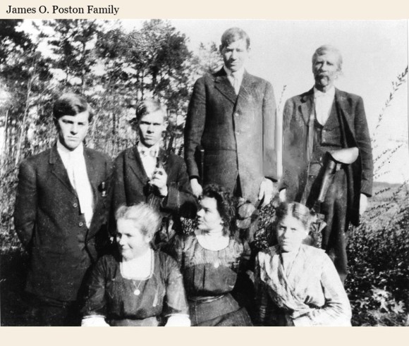
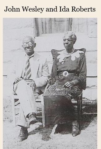
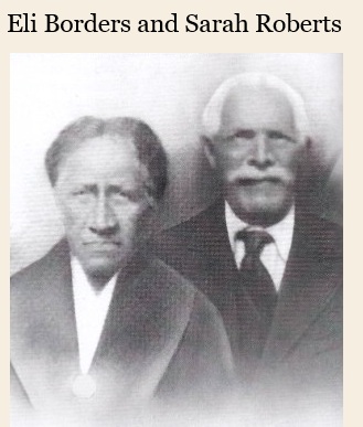
This section is dedicated to preserving portraits of Cleveland County’s ancestral families. Many of their descendants still live in the area today.
All photos were submitted directly from a descendant or were shared by a descendant on Ancestry.com. If you have an old photograph of your family to share, email a copy to paula.dedmon@gmail.com and she will upload it here.
The photographs are arranged alphabetically by surname into five slideshows.