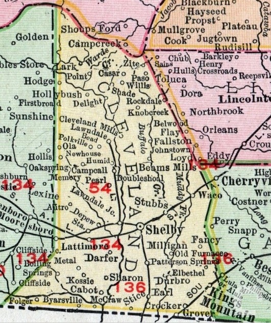
Cleveland County Towns, 1841-1970. This is an interactive map showing towns and communities through 13 decades.
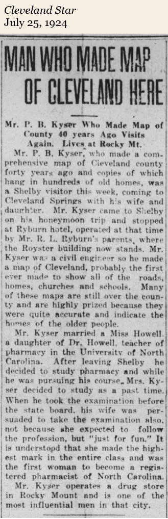
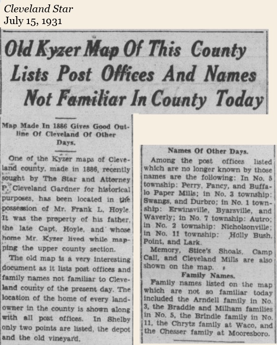
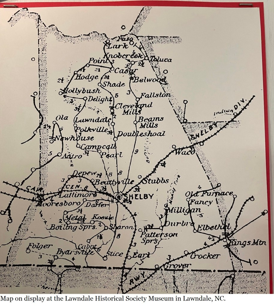
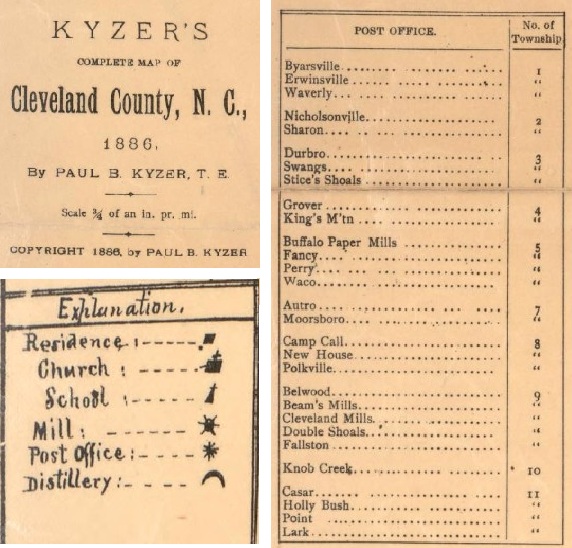
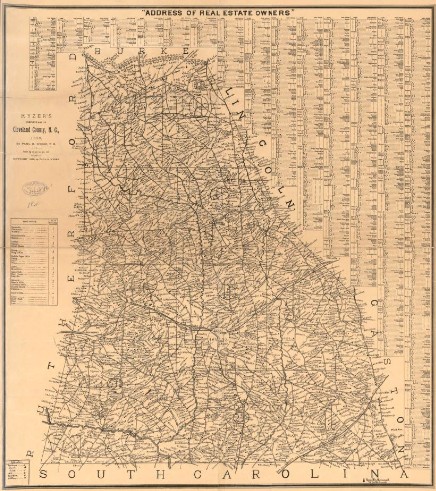
In 1886 topographical engineer, Paul B. Kyser, made a map of landowners in Cleveland County. This link to the Library of Congress copy is high resolution, enabling zoom in without losing resolution.
In 1918, a soil survey was made of Cleveland County culminating in a map that also included the location of bridges, churches, gins, mills, and some schools. The survey was conducted by Earl S. Vanatta and F. N. McDowell of the Bureau of Soils, North Carolina Department of Agriculture. The 1918 map has been digitized and is available at the University of North Carolina Library, Digital Collections Repository.

In 1866, Daniel Sanborn, a civil engineer and surveyor, was contracted by the Aetna Insurance Company to prepare maps of areas in Tennessee. About the same time, he developed similar maps of Boston. Seeing a lucrative market for this type of map, in 1867 he established the D. A. Sanborn National Insurance Diagram Bureau in New York City. That year he published the Insurance Map of Boston, Volume 1 and began developing and selling maps of additional areas.
Focusing on downtown, commercial, and industrial areas, these maps helped insurance agents assess fire hazards. Sanborn used a detailed, consistent color-coding system with his maps to denote building materials and types (e.g., yellow for wood frame, red for brick), as well as roof types, windows, doors, fire walls, and even the locations of water mains, hydrants, and fire alarms.
Over time insurance companies used alternative methods to assess risk, but Sanborn’s maps continue to be an essential tool in other professions. Planners and historic preservationists use the maps to understand the significance and historical evolution of buildings, including their historic uses and building materials in conservation and rehabilitation efforts. Genealogists use the maps to locate the residences and workplaces of ancestors.

Cleveland County was visited by agents with the Sanborn Map Company several times in the late 19th and early 20th century.
These maps have been digitized and are available at the University of North Carolina Library, Digital Collections Repository; links below.
- Kings Mountain, Cleveland County, North Carolina, April 1902; also includes the Kings Mountain Roller Mills, Flour Mill, Saw Mill, and Ginnery.
- Kings Mountain, Cleveland County, North Carolina, April 1902; also includes the Kings Mountain Roller Mills, Flour Mill, Saw Mill, and Ginnery.
- Kings Mountain, Cleveland County, North Carolina, May 1919; includes an index.

- Shelby, Cleveland County, North Carolina, July 1885
- Shelby, Cleveland County, North Carolina, July 1890
- Shelby, Cleveland County, North Carolina, February 1896
- Shelby, Cleveland County, North Carolina, June 1900; 2 maps; also includes maps of the Belmont Cotton Mill, Double Shoals Cotton Mill, Shelby Cotton Mill, Shelby’s two train depots, and YMCA boarding rooms.
- Shelby, Cleveland County, North Carolina, June 1905; 3 maps, first to include an index.