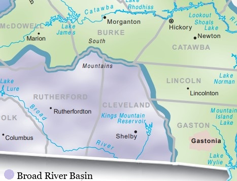
Almost the entire area of Cleveland County lies in the Broad River Basin, with the possible exception of a few areas lying on the eastern boundary of the county.
The county has several sizable creeks. For an article in celebration of Cleveland County’s first centennial, county historian Madge Webb Riley had this to say about the area’s water sources:
“The county belongs to the great Piedmont belt of the state and the soil, of course, is principally a clay. It is watered, however, by the two broad rivers and several large creeks along which is situated thousands of acres of the richest alluvial bottoms to be found in any old coast state.
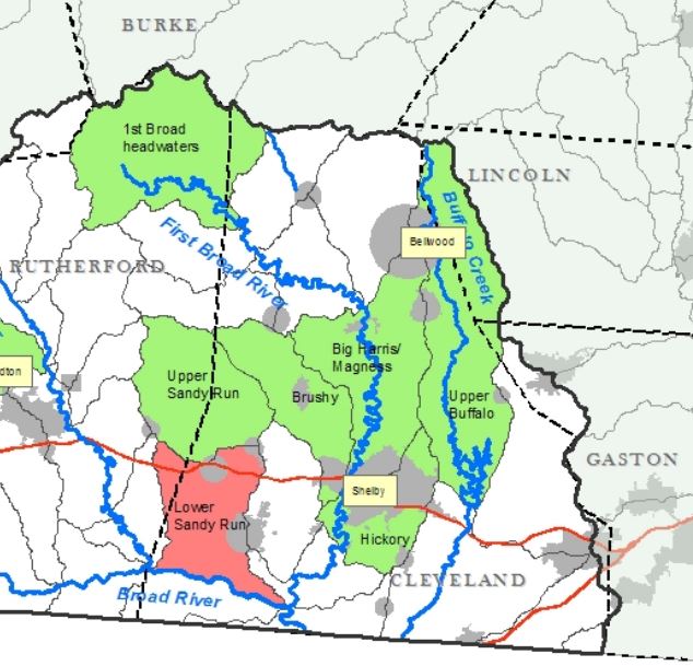
One of these creeks, Buffalo, is particularly noted for the large quantity and wonderful fertility of its bottoms. This remarkable stream has its source at the foot of South Mountain in the extreme north and forms the entire length of the county 25 miles. For 20 miles it will average 100 acres of lowlands to the mile. The surface is hilly in the northern part of the county and rolling in the middle and southern sections.
Everything that grows in North Carolina can be grown in Cleveland, except rice, with more or less profit. The soil and climate is admirably adapted to a large variety of crops, as the statistics for the staples will readily show.”
In the 19th century, numerous water-powered mills operated along these creeks. The map below was drawn in 1868.
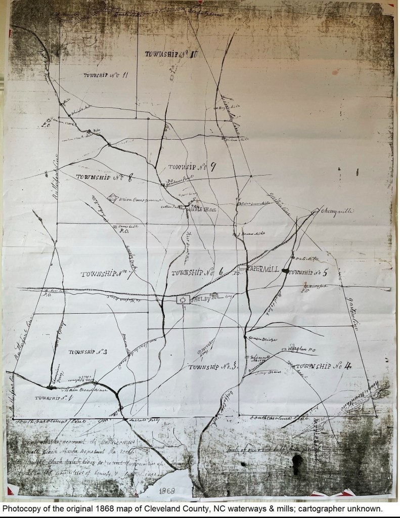
The map has been transcribed here, but there are a few locations labeled that are illegible.
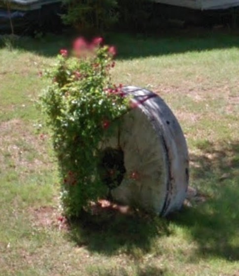
Here is a quick video on how grist mills work in turning grain into flour:
